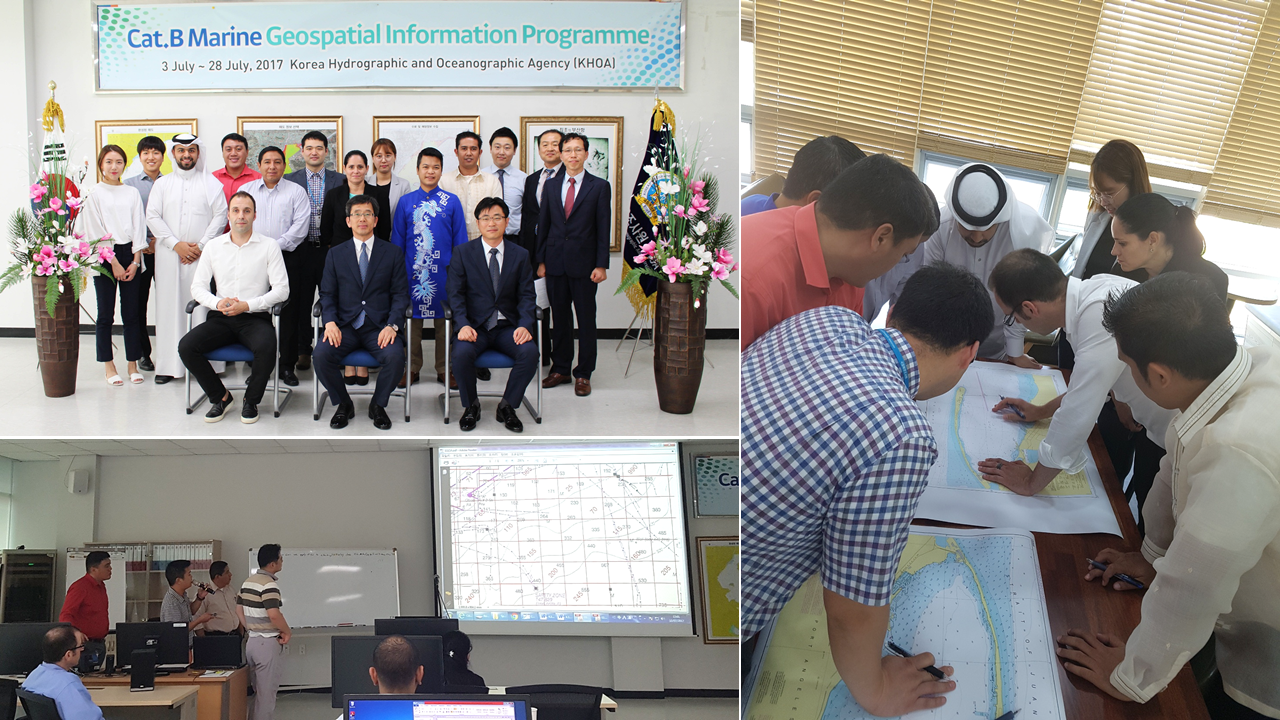
Successful Delivery of the Cat. B Marine Geospatial Information Programme
The Phase 3 of the Category B Marine Geospatial Information Programme was successfully delivered from 3rd to 28th July 2017 at the Korea Hydrographic and Oceanographic Agency (KHOA), Busan, Republic of Korea. The programme was run by the Capacity Building Fund of the International Hydrographic Organization (IHO) sponsored by the RoK from 2015 to 2017. It was recognized as “Category B” by the FIG-IHO-ICA International Board on Standards of Competence for Hydrographic Surveyors and Nautical Cartographers (IBSC) in April 2014.
Phase 1 involved learning the foundations of marine geospatial information, marine data assessment and basic compilation for paper charts; Phase 2 was on advanced compilation for paper and electronic navigational charts; and Phase 3 was on marine spatial data infrastructures and remote sensing for hydrographers.
Eight trainees from Bahrain, Cuba, Ecuador, Philippines (2), Republic of Korea (2) and Vietnam learnt comprehensively on nautical cartography and the programme will enable them to pass on the knowledge and skills obtained to other colleagues in home countries. Once the final project is completed, they will be qualified Category B cartographers accredited by the IBSC.
KHOA will continue to contribute to capacity building in collaboration with the IHO. Information on future programmes can be found at IHO circular letters: http://bit.ly/2tLKtve