대한민국의
발전과 안전은
바다에서도
멈추지 않습니다
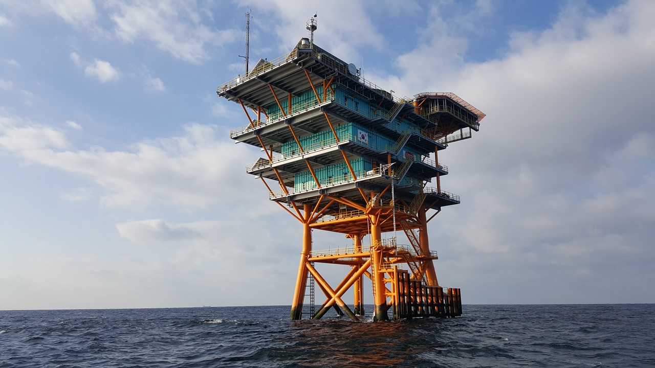
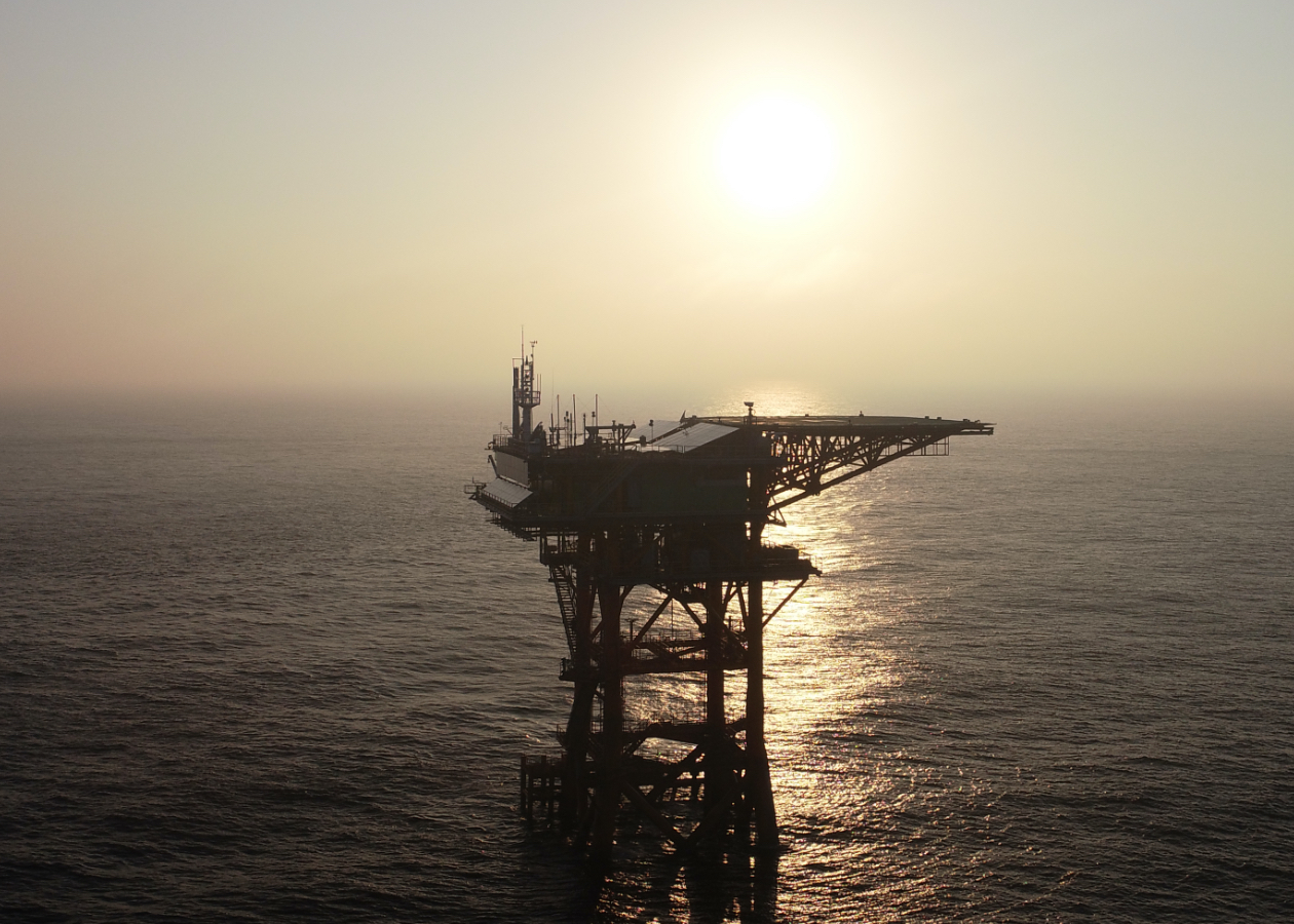
대한민국 해양과학기지는 바다 위의 안전 그리고
대한민국 대륙의 발전을 수호합니다
연구성과
해양과학기지의 연구성과


해양과학기지
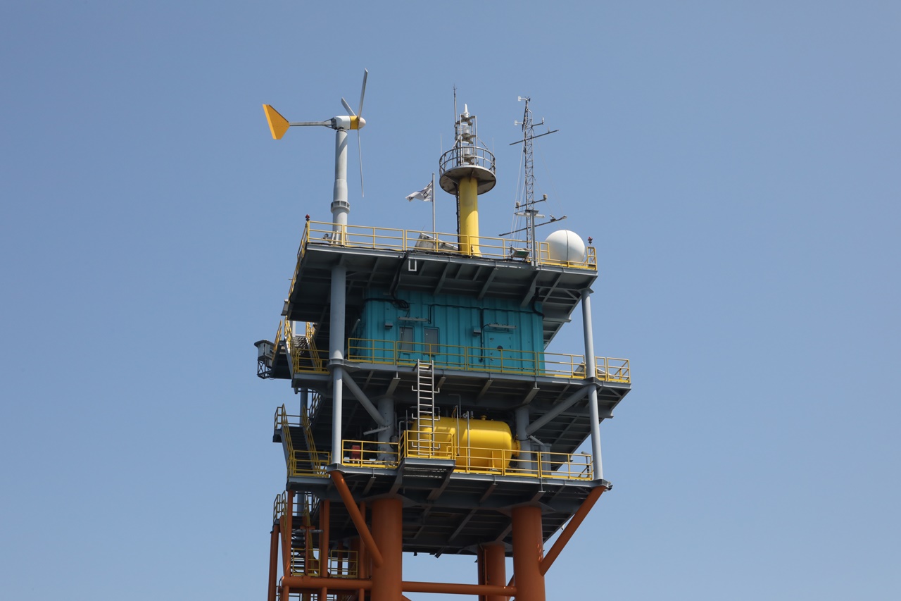
실시간 관측
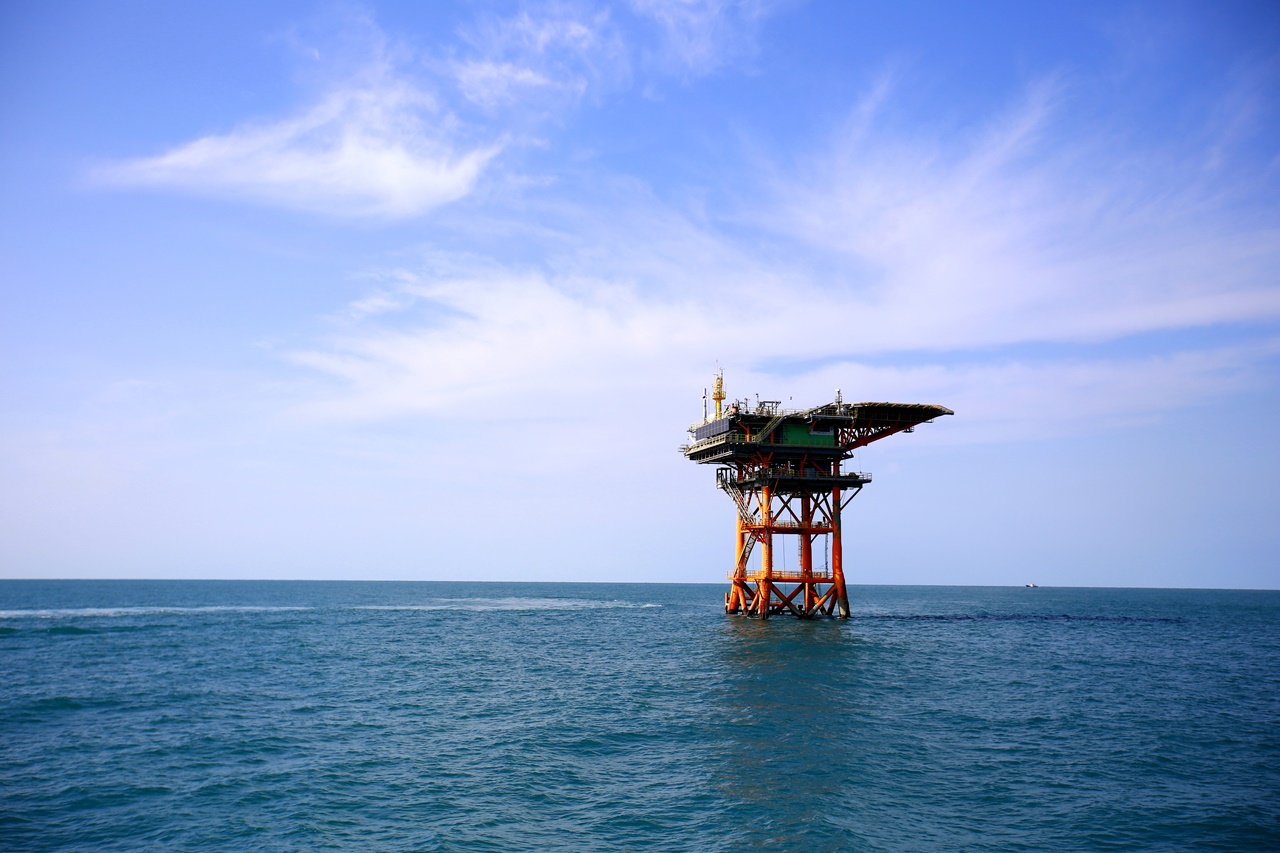
대한민국 해양과학기지는 바다 위의 안전 그리고
대한민국 대륙의 발전을 수호합니다
대한민국 최초의 무인
해양과학기지